Calmeilles
Calmella | |
|---|---|
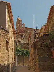 A street leading to the small square of Pedrissos, in Calmeilles | |
Location of Calmeilles | |
 Calmeilles 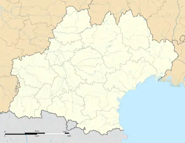 Calmeilles | |
| Coordinates: 42°33′11″N 2°40′30″E / 42.5531°N 2.675°E | |
| Country | France |
| Region | Occitania |
| Department | Pyrénées-Orientales |
| Arrondissement | Céret |
| Canton | Les Aspres |
| Intercommunality | Aspres |
| Government | |
| • Mayor (2020–2026) | Gérard Chinaud[1] |
| Area 1 | 13.22 km2 (5.10 sq mi) |
| Population | 60 |
| • Density | 4.5/km2 (12/sq mi) |
| Time zone | UTC+01:00 (CET) |
| • Summer (DST) | UTC+02:00 (CEST) |
| INSEE/Postal code | 66032 /66400 |
| Elevation | 256–784 m (840–2,572 ft) (avg. 469 m or 1,539 ft) |
| 1 French Land Register data, which excludes lakes, ponds, glaciers > 1 km2 (0.386 sq mi or 247 acres) and river estuaries. | |
Calmeilles (French pronunciation: [kalmɛj] ⓘ; Catalan: Calmella) is a commune in the Pyrénées-Orientales department in southern France.
Geography
Localisation
Calmeilles is located in the canton of Les Aspres and in the arrondissement of Céret.

Map of Calmeilles and its surrounding communes
Places adjacent to Calmeilles | ||||||||||||||||
|---|---|---|---|---|---|---|---|---|---|---|---|---|---|---|---|---|
| ||||||||||||||||
Government and politics
Mayors
| Mayor | Term start | Term end |
|---|---|---|
| Brigitte Baux | 2001 | 2014 |
| Gérard Chinaud | 2014 |
Population
| Year | Pop. | ±% p.a. |
|---|---|---|
| 1968 | 45 | — |
| 1975 | 46 | +0.31% |
| 1982 | 37 | −3.06% |
| 1990 | 41 | +1.29% |
| 1999 | 42 | +0.27% |
| 2007 | 61 | +4.78% |
| 2012 | 65 | +1.28% |
| 2017 | 59 | −1.92% |
| Source: INSEE[3] | ||
See also
References
- ↑ "Répertoire national des élus: les maires". data.gouv.fr, Plateforme ouverte des données publiques françaises (in French). 2 December 2020.
- ↑ "Populations légales 2021". The National Institute of Statistics and Economic Studies. 28 December 2023.
- ↑ Population en historique depuis 1968, INSEE
Wikimedia Commons has media related to Calmeilles.
This article is issued from Wikipedia. The text is licensed under Creative Commons - Attribution - Sharealike. Additional terms may apply for the media files.